June 7, 2003
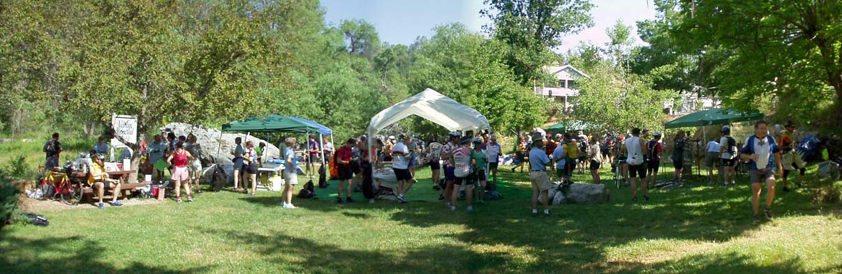
Rest Stop Two: Volcano's Memorial Park (43 miles in)
|
Route
|
Trip Data from my house
|
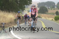
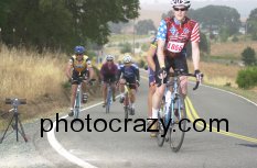
Climb up Sutter Ion Road (about 26 miles in)
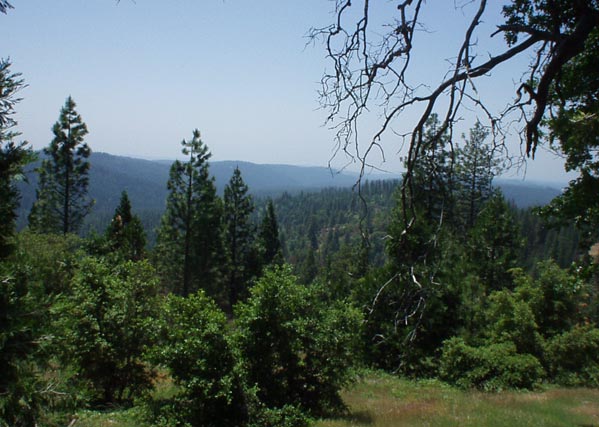
View from Omo Ranch Road at 4600ft
|
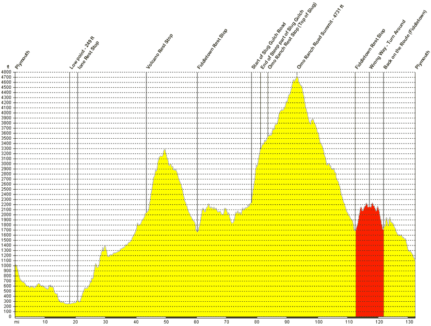
The Ride The "Sierra Century" is offered in a number of different lengths, starting with a half metric century (about 28 miles) all the way to the double metric century (123 miles), of course there's the standard 100 mile route, and a few others too. Last year I was optimistic about doing the double, but after the climb up Slug Gulch I decided that the 100 was the most I could do - it's at the top of Slug Gulch at the Omo Ranch road rest stop where the Century and Double Metric Century rides split go their separate ways. Last year part of the overwhelming evidence that I was not going to get much further was during the climb up Slug Gulch I was going up slower than a walking pace and 50-100 people passed me. This year I was going probably twice as fast, and only one rider passed me. In fact for the entire ride less than 20 people, out of the 2000 or so riders in the event passed me, I was feeling great. From the Omo Ranch road rest stop you climb another 1200ft, although at a relatively gradual rate, to a little over 4700 ft, quite a climb from earlier in the day at just over 200 ft. From the summit you have 3700 ft of decent back to Plymouth over only 30 miles, that is of course unless you miss the signs. The decent to Fiddletown was wonderful, it's almost 20 miles and over 3000 ft of decent for an average decent rate of 3%. It's not absolutely straight down, but includes a number of small rolling hills, enough to slow the majority of riders into "climbing" mode every once in a while. After such a long decent I was rested enough to blast up the rolling hills spinning in a high gear often at around 25-30mph. Coming into Fiddletown I was quite surprised to find myself on the same road, in the same direction as I had earlier in the day and was wondering if I was going the wrong way. None the less, on arrival at the rest stop I was told that a small part of the ride was duplicated and I was going the right way. It seemed really odd to also be taking the same road out of Fiddletown too. I specifically asked if the signs had been changed, as I wasn't too keen to revisit Slug Gulch again. I was told they had been changed. Not quarter of a mile later did I miss the road I was supposed to be taking, as there was no sign! I found myself back on the same road to Slug Gulch, about 5 miles down that road (marked in Red below) I decided I couldn't possibly be on the right road, none of the road names were right, and I figured I'd better return to Fiddletown. After passing a dozen other riders who obviously also were going the wrong way too (although I wasn't sure at the time) I found the correct road almost all the way back at the Fiddletown rest stop. It doesn't look much on the graph below, but the next climb was quite difficult, but once at the top of Ostrom road it was almost entirely all downhill, with some gentle rollers on the way back to Plymouth. This made for some wonderful speed racing through the roads with beautiful vineyards on either side. Altitude Profile My Ciclomaster CM436M altimeter gives two readings, one with "bump removal" which doesn't count a climb of less than 15ft, I think it actually simply removes 15ft from every climb, totaled 9400 ft, the ride organizers claim "over 10,000ft" although that's without my detour, and the other altimeter reading without "bump removal" was 12,700ft. The piece in red below was my unintended 9-10 mile detour due to a missing sign! |
© Roland Wooster, 2007. All rights reserved.